Log in
All resources
Create a design
84 Free Artworks of Estate Maps
bibliothèque nationale de france
estate maps in the national library of wales
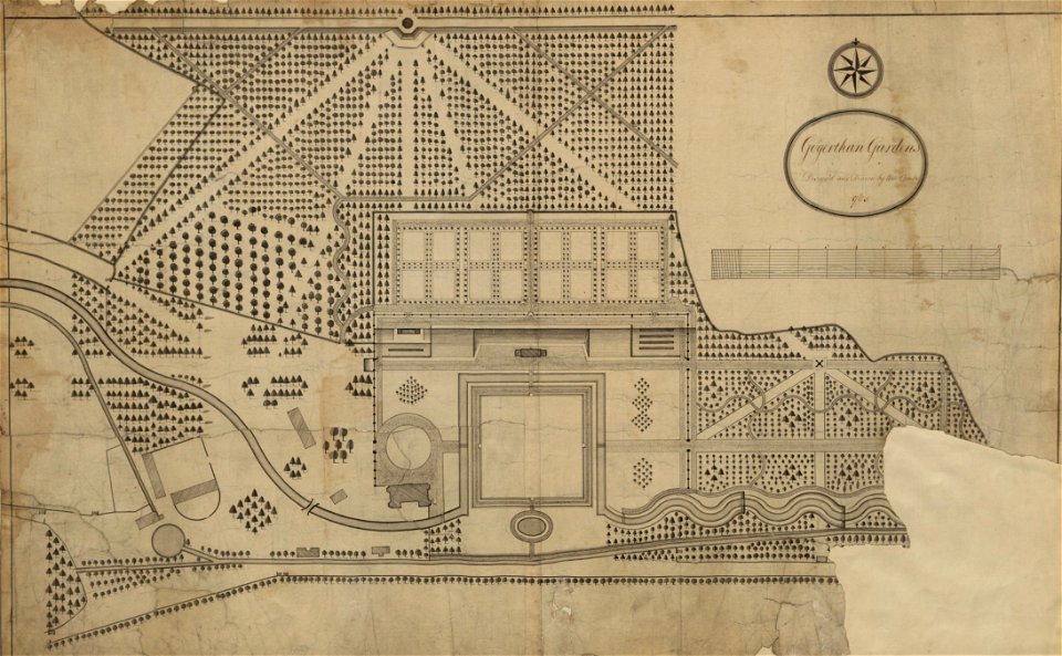
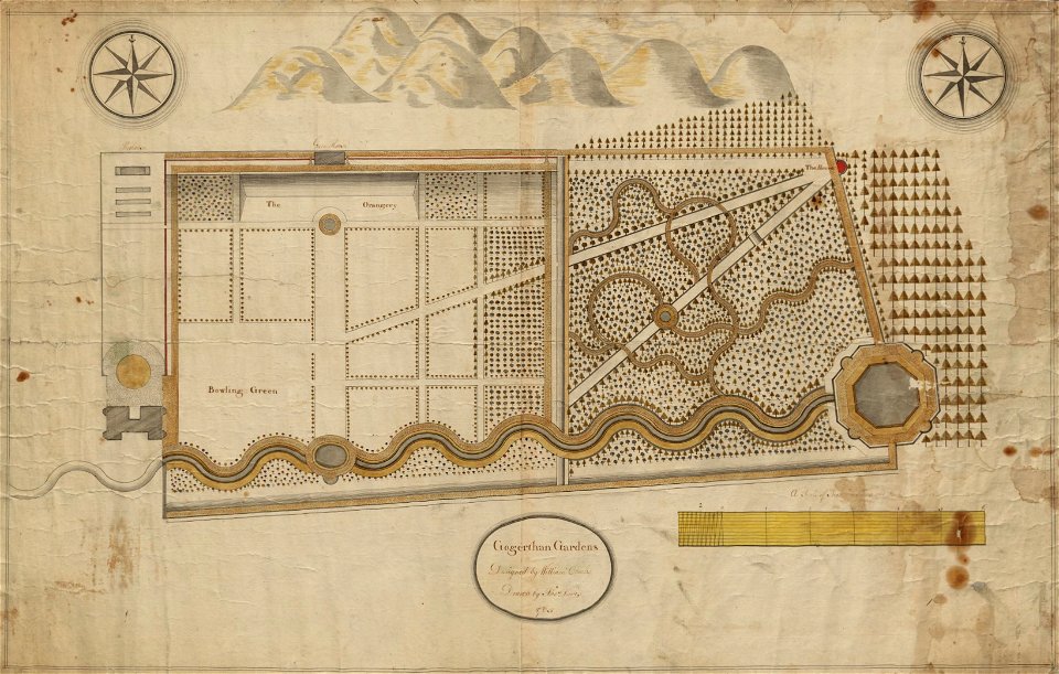
gogerddan
map of the upper rhenian circle by sanson
louis cordier
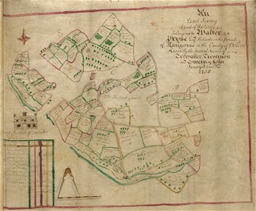
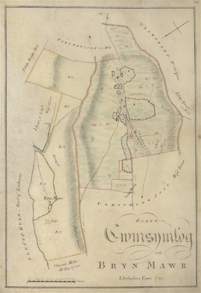
old estate maps of wales
map of the circle of the rhineland by sanson
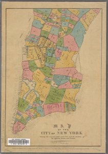
new york city
george hayward
images from the new york public library
estate maps in the national library of wales
estate maps
estate maps in the national library of wales
estate maps
estate maps in the national library of wales
estate maps
estate maps in the national library of wales
estate maps
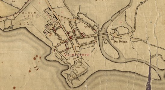
llanbadarn fawr
ceredigion
islands of scotland
maps of scotland
estate maps in the national library of wales
garden design
estate maps in the national library of wales
garden design
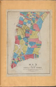
george hayward
new york city
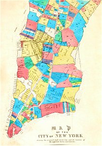
george hayward
new york city
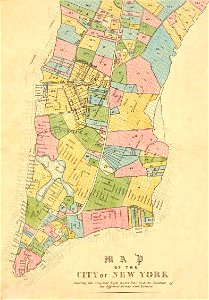
george hayward
new york city
george hayward
new york city
french-language maps
gerard valck
maps made in the 17th century
guillaume sanson
maps made in the 17th century
guillaume sanson
old maps of heemskerk
atlas maior
sion, quarter of rijswijk
1712 maps
maps by alexis-hubert jaillot
old maps of poland
1749 maps of the russian empire
hendrik de leth
media from the national library of finland
classicism
maps by alexis-hubert jaillot
old maps of poland
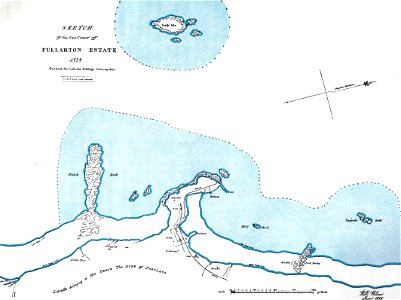
erstavik
heby slott
häradsekonomiska kartan
erstavik
maps of trenton, new jersey
gregory anthony perdicaris
maps in the library of congress
augustus kollner
maps in the library of congress
old maps of barbados
maps by pieter van der keere
covent garden in art
map of the circle of the rhineland by sanson
1730s maps of rhineland-palatinate
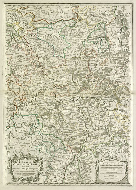
map of the upper rhenian circle by sanson
maps by nicolas sanson
map of the upper rhenian circle by sanson
1700s maps of north rhine-westphalia
map of the circle of austria by sanson
1670s maps of austria
victorian architecture
1850s maps of london
map of the upper rhenian circle by sanson
maps by nicolas sanson
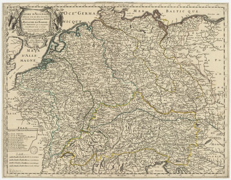
map of the circle of the rhineland by sanson
1730s maps of rhineland-palatinate
robert cordier (engraver)
maps by guillaume sanson
map of the circle of the rhineland by sanson
1700s maps of rhineland-palatinate
cartouches by sanson family
maps of alsace by guillaume sanson
1690s maps of alsace
1690s maps of baden-württemberg
1690s maps of alsace
maps of vangiones by sanson
maps by nicolas sanson
map of the circle of westfalia by sanson
louis cordier
kadasterkaarten maastricht (ca 1823-1830)
1830 maps
map of the upper rhenian circle by sanson
1690s maps of hesse
historical maps of plzeň
baroque
map of the circle of the rhineland by sanson
1730s maps of rhineland-palatinate
eran laor cartographic collection
jacques chiquet
kadasterkaarten maastricht (ca 1823-1830)
1830 maps
map of the upper rhenian circle by sanson
1700s maps of north rhine-westphalia
map of the circle of the rhineland by sanson
1730s maps of rhineland-palatinate
map of the upper rhenian circle by sanson
1680s maps of north rhine-westphalia
robert cordier (engraver)
1789 maps of france
robert cordier (engraver)
1789 maps of france
1831 maps of new york (state)
old maps of lower manhattan
eran laor cartographic collection
alexis-hubert jaillot
maps of meeresteijn
hendrik de leth
map of the circle of westfalia by sanson
louis cordier
old maps of haarlem
haarlemmerhout
1740s maps of bavaria
johannes condet
map of the circle of lower saxony by sanson
bibliothèque nationale de france
l'empire d'allemagne divisé en ses dix cercles en leurs principaux estats. le royaume de bohême et les provinces qui en dépendent - nouvellement reveu et corrigé par le sieur sanson... ; lud. cordier... - btv1b532023318
sanson maps of the circles of germany
sanson maps of the netherlands
1670s maps of belgium
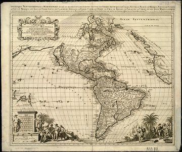
sanson maps of south america
louis cordier
l'empire d'allemagne divisé en ses dix cercles, et ces cercles en leurs principaux estats, principautés et souverainetés ecclésiastiques, laiques et villes impériales avecq le royaume de boheme et les... - btv1b53202355w
sanson maps of the circles of germany
maps by thomas nast
1872 maps of texas
maps by john rocque
wilton house
schoten, netherlands
heerlijkheid zaanen
johann christian wentzinger
baroque
le cercle de franconie, subdivisé en touts les estats qui le composent, dressé sur les mémoires les plus nouveaux - par le sr. sanson... - btv1b53202321v
map of the circle of franconia by sanson
prints of cartouches in the rijksmuseum amsterdam
maps in the rijksmuseum amsterdam
maps by jodocus hondius
1590s maps of the world
map of the circle of bavaria by sanson
louis cordier
dutch 17th-century prints in the rijksmuseum amsterdam
battle of nieuwpoort
old maps of kennemerland
hendrik de leth
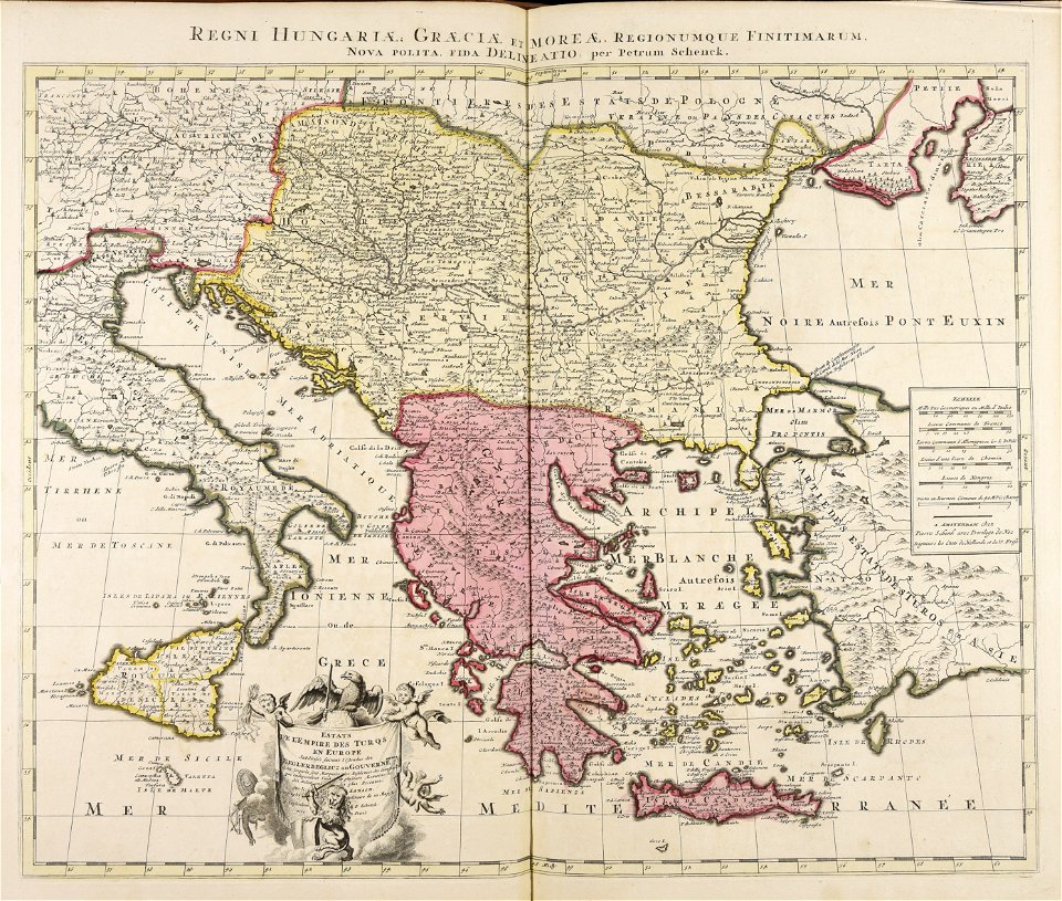
estats de l'empire des turqs en europe subdivisés suivant l'estendüe des beglerbeglicz ou gouvernements dans lesquels sont marquées les résidences des sangiacz qui en dépendent . tirés de plusieurs... - btv1b53081211n
guillaume sanson
estats de l'empire des turqs en europe subdivisés suivant l'estendüe des beglerbeglicz ou gouvernements dans lesquels sont marquées les résidences des sangiacz qui en dépendent . tirés de plusieurs... - btv1b53081211n
guillaume sanson
prints by pieter nolpe in the rijksmuseum amsterdam
bequest of f.g. waller
history of philadelphia
lithographs
history prints in the rijksmuseum amsterdam
etchings in the rijksmuseum amsterdam
etchings in the rijksmuseum amsterdam
prints published by leonard schenk
history of philadelphia
lithographs
prints by james gillray in the british museum
satirical prints in the british museum
maurice, prince of orange in engravings
maps in the rijksmuseum amsterdam
maurice, prince of orange in engravings
maps in the rijksmuseum amsterdam
1 - 84 of 84
/ 1


![The Electoral Circle of the Rhine subdivided into all the Estates which compose it... / by Sanson, ,... Geometric Miles or Miles of Italy [30 = 12] common leagues of France, 1734](https://cdn.creazilla.com/illustrations/10001532968/the-electoral-circle-of-the-rhine-subdivided-into-all-the-estates-which-compose-it-by-sanson-geometric-miles-or-miles-of-italy-30-12-common-leagues-of-france-1734-sm.jpg)